The WRWMG's Water Quality Sampling Program
Through its sampling initiatives, the WRWMG provided the State of New Jersey with a cost effective, certified sampling program designed to obtain scientific data that will allow more informed decisions to be made regarding environmental practices, watershed management, and land use planning strategies.
The WRWMG conducted more than eight years worth of NJDEP QA/QC approved chemical and biological surface water quality monitoring, collecting more than 5,000 stream samples throughout Sussex County. In addition, the WRWMG has been extremely active in collecting and submitting water quality data to the NJDEP for use in establishing various Total Maximum Daily Loads (TMDLs) and developing restoration plans to meet the established TMDLs.
View Larger Map
Wallkill River Watershed Sampling Location Map (PDF File)
Papakating Creek / Clove Brook Watershed Sampling Locations Map (PDF File)
Upper Paulins Kill Watershed Sampling Locations Map (PDF File)
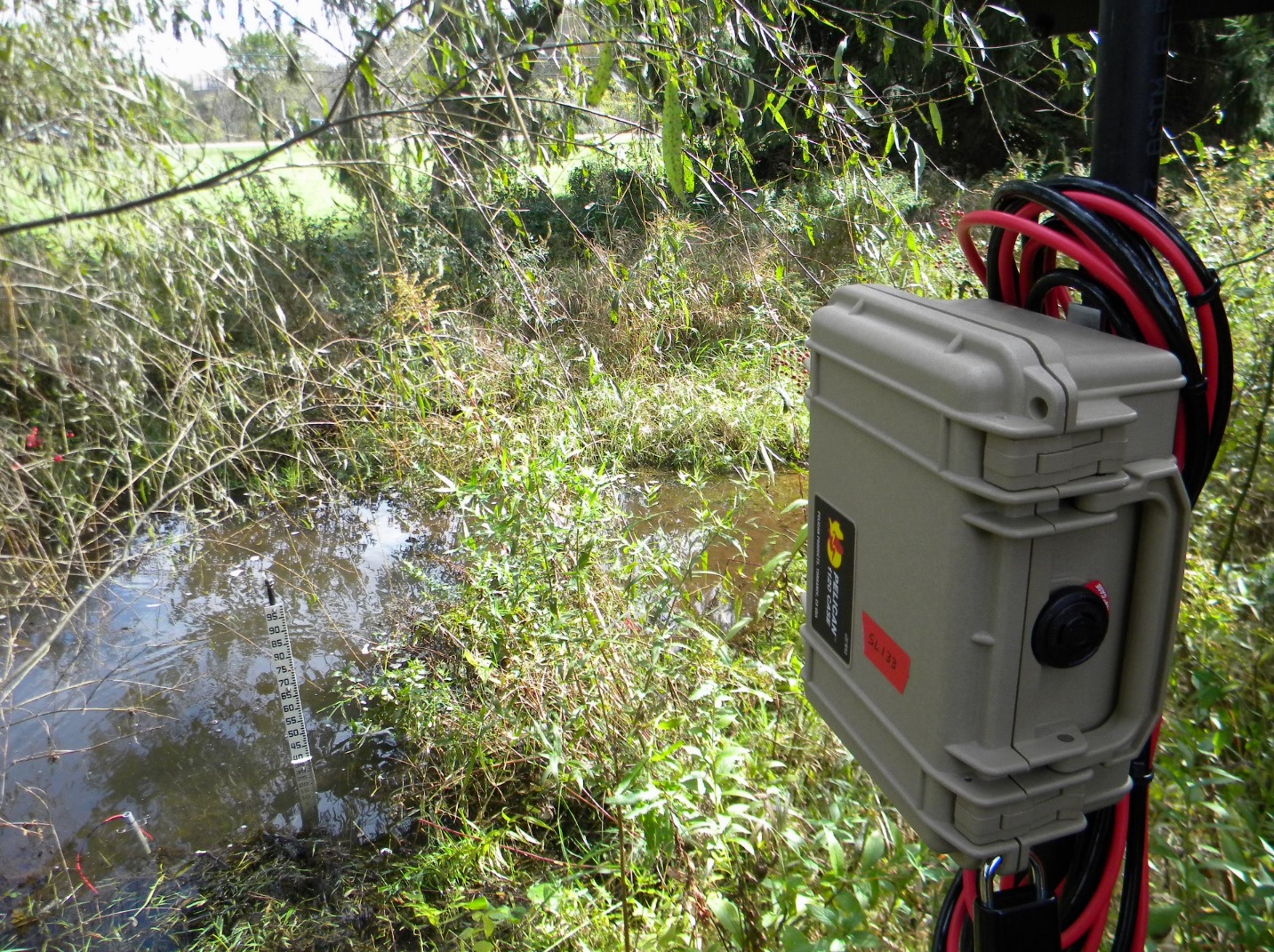
Currently, the WRWMG is partnering with Stroud Water Research Center and Sussex County Community College (SCCC) to monitor the health of the Paulins Kill River which flows through SCCC’s campus. Water quality monitoring sensors installed on the campus will collect continuous temperature, turbidity, conductivity, and depth data, helping to track the changing conditions of the river over time. The community college students will work with the WRWMG to monitor and maintain the sensors, gaining valuable water quality monitoring skills that will benefit them as they enter the environmental field after college.
To view the data that is currently being collected, visit this link: monitormywatershed.org/sites/NHPK9S/